Creating and Restoring Natural Habitat Along Our Waterfront

On their surface, the WaveDecks along the Central Waterfront are whimsical and fun elements that enhance the public realm. Underneath they provide a naturalized environment for aquatic life.
PUBLISHED: FEBRUARY 11, 2016
BY: ANNA PALAMARCHUK
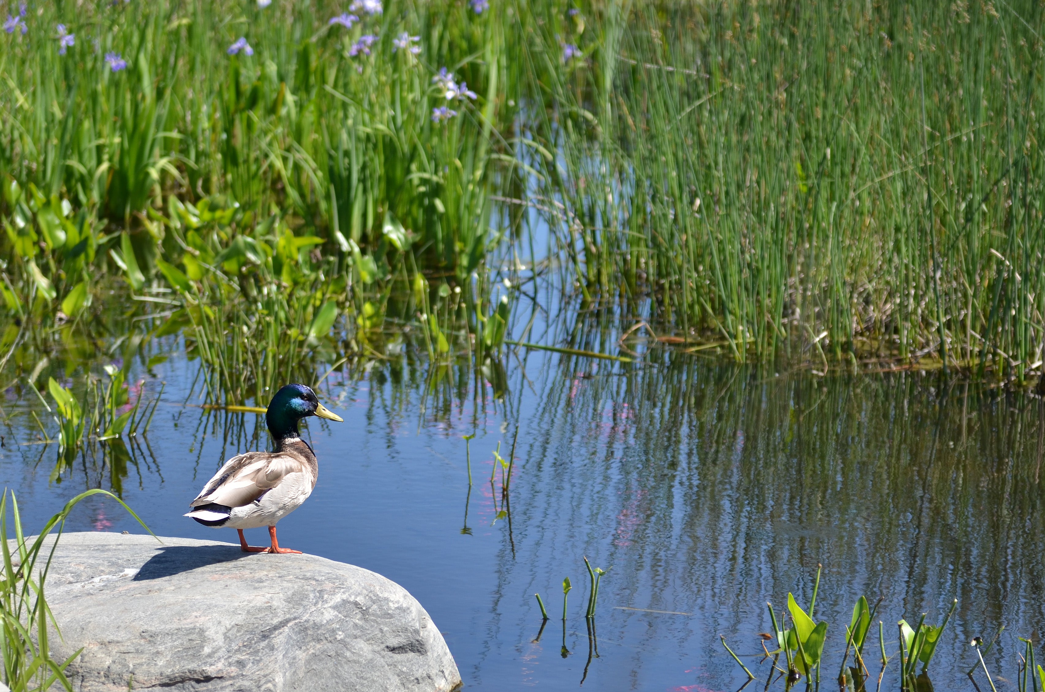
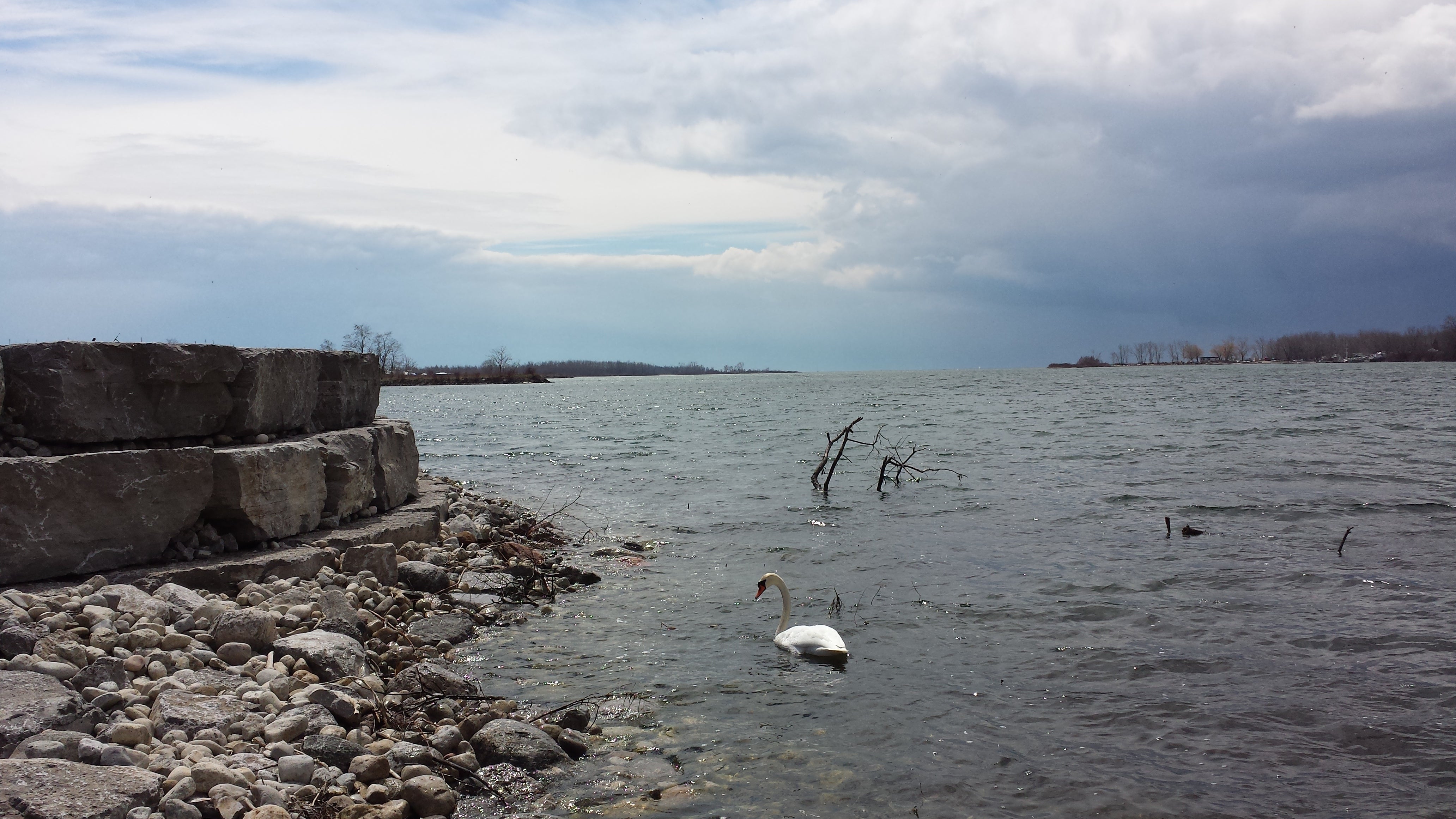
Creating and restoring aquatic and terrestrial habitat is an important part of waterfront revitalization. Improving the health and diversity of natural systems and species makes for a more inviting and sustainable environment and a richer waterfront experience. In the recent past, the mention of swimming in Lake Ontario along our shores was met with disbelief, and any thought of enjoying the natural habitat along the downtown shoreline was non-existent. Together with our partners, we are focused on helping to restore the quality of the lake’s water and shoreline. This work is encouraging the return of a variety of species, reconnecting people with their lake and contributing to Toronto’s climate change resiliency.
Waterfront Toronto’s commitment to this aspect of revitalization is demonstrated by our position as a founding member of Aquatic Habitat Toronto. Aquatic Habitat Toronto is a consensus-based partnership between agencies with a vested interest in improving aquatic habitat on Toronto's waterfront. Other agencies involved include Fisheries and Oceans Canada, Ministry of Natural Resources, Toronto and Region Conservation Authority (TRCA), the City of Toronto and Environment Canada. The partnership helps to design suitable habitat in appropriate locations to offset the potential impacts of waterfront projects.
So far our projects have created or improved a total 108,920 square metres of aquatic habitat (the equivalent of 18 football fields) and 3,133 metres of linear aquatic habitat (the length of 31 football fields).
Central Waterfront
Between 2008 and 2009, a series of iconic WaveDecks were built along the Central Waterfront – creating more public space on one of the most heavily used parts of Toronto's shoreline. When planning the WaveDecks, we recognized that the underwater support structures and shading produced by the decks above could impact the fish habitat below. With the help of Aquatic Habitat Toronto, we installed a variety of important structures – such as river-stone shoals, boulders, smaller aggregate, root balls, and tree logs – under the Spadina, Rees and Simcoe WaveDecks. Together, these habitat structures provide space for plants to take root, they increase shelter and improve foraging opportunities for fish.
Standing on any of the WaveDecks it’s hard to imagine the habitat that lies beneath but this video created by Aquatic Habitat Toronto offers a glimpse into their complexity.
It’s not always the case that natural habitat or systems can be restored or created in their original location. For example, when mandatory restoration work at the Portland Slip was undertaken it was decided that creating habitat at a different location would be more beneficial. Unlike the WaveDecks where habitat was successfully incorporated into the project, in this case, habitat was created elsewhere to ensure a greater chance of ecological success. As a result, a contribution was made to the Toronto Island Habitat Bank Project to create the equivalent of 10,000 square metres of aquatic habitat.
The West Don Lands
The extensive marsh in Corktown Common reconnects the former industrial site with the native ecology of the region and also serves an essential part of the park’s onsite stormwater recycling system.
Corktown Common is a 7.3 hectare park in the West Don Lands. Built on a former industrial and brownfield site, the park is positioned atop a massive flood protection landform that protects the surrounding area from flooding. In addition to more common park features such as a playground, splash pad, open lawns and a pavilion, Corktown Common also offers an extensive landscape of marshes, prairies and woodlands that promote biodiversity. The ecological richness throughout the park immerses visitors in nature and encourages a sense of discovery.
The Wider Waterfront
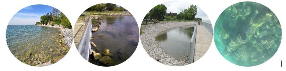
We have also partnered with Toronto and Region Conservation Authority on completing two projects along the wider waterfront. Mimico Waterfront Park in Etobicoke and Port Union Waterfront Park in Scarborough both feature extensive trail systems and a variety of other amenities that connect people with the lake. Both parks also feature extensive shoreline habitat including cobbled beaches, pockets of wetland habitat and native plantings.
The Port Lands
Outer Harbour Recreational Node offers an accessible space for recreational fishing and birdwatching, and provides important ecosystem enhancements.
The Outer Harbour Recreational Node is an outcropping at the water's edge in Lake Ontario Park that offers an accessible space for recreational fishing, birdwatching, and nature appreciation. This space not only reconnects people with the waterfront and creates access for recreational activities, it also provides important ecosystem enhancements. The shoreline treatment includes wood debris to provide shading and refuge for a variety of fish and amphibian species. The node also includes submerged shoals that enhance shoreline irregularity and structural habitat, and encourage the growth of native plant species.
This covers just some of the ways in which we have improved the natural environment of our waterfront. Another exciting project that is currently in the planning stages is the naturalization of the mouth of the Don River. The Don River watershed currently connects with Lake Ontario through the Keating Channel where the river comes to an abrupt end and water is forced to take a sharp turn in order to empty into the inner harbour. Water doesn’t naturally flow this way and, as a result, the Port Lands and other areas nearby are at risk of flooding.
Formerly the largest natural wetland in Lake Ontario, re-naturalizing the mouth of the Don River has the potential to transform Toronto and support the city’s competitiveness.
The Port Lands is a 356 hectare brownfield site that was once part of the largest wetland on the Great Lakes. Beginning in the 1880s, the area was infilled to support industry and port-related activity. Today this area is underutilized and, because it sits within the flood plain, it cannot be revitalized until the flood risk is mitigated. Our plan to achieve flood protection includes rerouting the existing river from its current location at the Keating Channel on the eastern side of Toronto’s inner harbour, to the middle of the Port Lands between the ship channel and the Keating Channel. The new river mouth will improve Toronto’s resiliency and contribute to climate change mitigation by creating over 1,000 metres of new river channel, re-creating 13 hectares of vital coastal wetlands, and enhancing biodiversity of aquatic and terrestrial habitat.
Tell us what events you’d like to see on Toronto’s waterfront. Follow us on Facebook and Twitter – and join the conversation using the #TOtheWaterfront hashtag.
Something big and ambitious is happening at Quayside
Waterfront Toronto and Quayside Impact confirm agreement to develop Quayside