Biidaasige Park
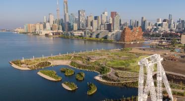
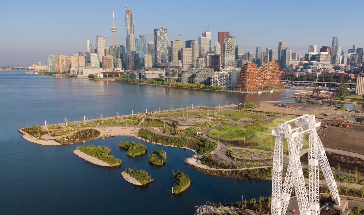
Biidaasige Park (pronounced "bee-daw-sih-geh" and meaning "sunlight shining toward us" in Anishinaabemowin/Ojibwemowin) is Toronto’s largest new park to open in a generation and one of the most significant new public spaces to open in Canada in recent years.
Located along the new mouth of the Don River where it meets Lake Ontario, the park is the first public space to open on Toronto’s newest island, Ookwemin Minising. Created through the $1.4 billion Port Lands Flood Protection project, funded by the Government of Canada, the Government of Ontario, and the City of Toronto, it is part of an unprecedented initiative that safeguards 174 hectares of land in the Port Lands and eastern waterfront from extreme flooding.
Biidaasige Park is opening in phases. In 2025, approximately 50 acres of parkland and the transformed Don River opened to the public, reconnecting people to nature and the water. In 2026, an additional 10 acres of parkland opened, along with the first-in-Canada Lassonde Art Trail. An additional 5 acres of park space is still planned as part of future phases of work. Taken together, Biidaasige Park is one of Toronto’s most significant urban green spaces.
Quick Facts
Park Features and Amenities
Located at the heart of Toronto’s redeveloped eastern waterfront, Biidaasige Park offers visitors a new experience of the city. Key park features include:
Nature and Recreation
- More than five kilometres of walking trails and cycling paths
- Canoe Cove, a protected paddling and shoreline access area
- Canoe and kayak launches
- Fishing areas
- The Don Greenway, a one-kilometre naturalized wetland and spillway on the Toronto waterfront
- Picnic areas, barbeques and gathering spaces
- Two off-leash dog areas
- Family recreation amenities, including playgrounds and larger-than-life animals and play structures
- Old Fire Hall 30, a historic fire hall with space for recreational programming
- The Atlas Crane, a preserved 300-ton marine cargo crane, installed in 1961 and decommissioned in the 2000s, and elements of the Marine Terminal 35 building that celebrate the area’s industrial heritage
- Event Lawn with capacity for approximately 3,000 visitors
Culture and Public Art
- The four-kilometre Lassonde Art Trail
- Permanent and rotating public art installations
- Community gathering and performance spaces
- Opportunities for arts and cultural programming
Indigenous Placekeeping
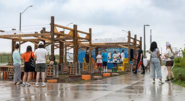
- The Drum, a structure for community gathering, ceremony and celebration
- Indigenous plantings, including medicinal and edible species
- Existing and planned Indigenous design features, including a Fire Holder feature and Teaching Signifier Sturgeon Stones – both designed by Solomon King and Brook McIllroy. It also includes Directional Compasses/Marker Trees designed by Two Row Architect, and Interpretive Signage by NVision Insight Group, celebrating the area’s Indigenous past and present
- Dodem animal play structures (carved wooden animals) developed in consultation with Indigenous partners
Lassonde Art Trail
The Lassonde Art Trail (LAT) is Canada’s most ambitious open-air destination dedicated to public art.
Spanning more than four kilometres through Biidaasige Park, LAT offers free, year-round access to permanent and rotating artworks by leading Canadian, Indigenous and international artists.
The Art Trail integrates contemporary art directly into the public realm and helps establish Toronto’s waterfront as both a recreational and cultural destination. The 2025 inaugural season features 17 public art installations by internationally renowned artists, with new works
continuing to be unveiled in 2027 and beyond.
Port Lands Flood Protection Project
The $1.4 billion Port Lands Flood Protection (PLFP) project is an unprecedented tri-government initiative funded by the Government of Canada, the Government of Ontario, and the City of Toronto. At the heart of this ambitious engineering effort was the renaturalization of a new mouth for the Don River—transforming former industrial lands into a living river valley, park space and future mixed-use community.
The project safeguards 174 hectares (430 acres) of existing Toronto neighbourhoods from extreme flooding while unlocking space for future mixed-use communities that will feature housing, employment opportunities, and neighbourhood amenities.
Biidaasige Park and Ookwemin Minising are among the most visible public outcomes of this transformation and stand as examples of what can be achieved through collaboration between all three levels of government and Indigenous partners.
Shaped by water, story and place
Long before industrialization and city development, this waterfront held deep significance for Indigenous Peoples. Today, Indigenous placekeeping is embedded throughout the park experience, reflecting longstanding relationships between land, water and community while helping restore Indigenous presence, language and ways of understanding place within the public realm.
Biidaasige, pronounced “Bee-daw-si-geh,” means “sunlight shining toward us,” while Ookwemin Minising, pronounced “Oh-kway-min Min-ih-sing,” means “place of the black cherry trees” in Anishinaabewomin/Ojibwemowin. Both names were gifted through an Indigenous-led naming circle convened by the City of Toronto.
The park also includes plantings developed in consultation with Indigenous partners, ceremonial and interpretive elements, marker trees, The Drum and other features that contribute to a deeper sense of meaning, identity and connection throughout the site.
To learn more, read the online article, Revitalizing Indigenous stories and culture at Waasayishkodenayosh and the Port Lands.
Learn more about events and community programming taking place at Biidaasige Park on the City of Toronto website: toronto.ca/BiidaasigePark.