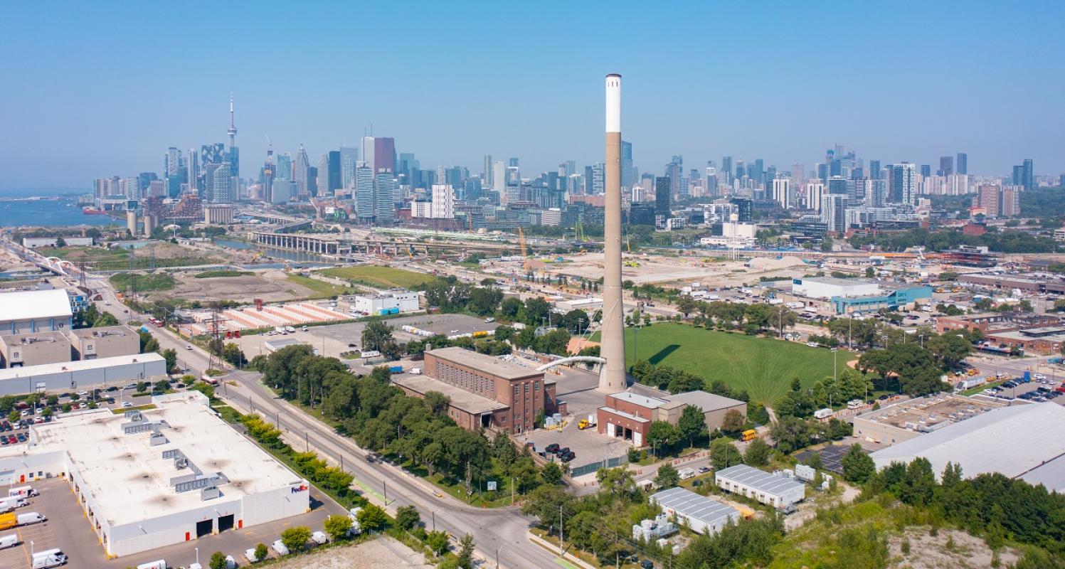
McCleary District
Located east of Ookwemin Minising (formerly Villiers Island) across the new river valley, the McCleary district is envisioned as a dense, transit-oriented, complete mixed-use residential community and modern employment hub.
CreateTO is currently leading the precinct planning process in collaboration with the City of Toronto and Waterfront Toronto. The McCleary District Precinct Plan will provide more detailed planning and design direction for the District, building on the Port Lands Planning Framework and Central Waterfront Secondary Plan (CWSP).
The precinct plan will establish local street and block patterns, a network of green spaces including locally oriented parks and open space with recreational opportunities as well as preferred locations for community infrastructure including a school and daycare facilities. It will also advance urban design and streetscape guidelines, sustainability and heritage strategies, and specific recommendations for public art and affordable housing.
Quick Facts
McCleary District is envisioned as a dense, transit-oriented, complete mixed-use community and an active modern employment hub. The District will contribute to broader economic development objectives by supporting the film, television, and digital media sectors while also providing new housing, parks, and community facilities. It will complement the East Harbour office district envisioned to the north and the film studios and other creative employment areas to the south and east. The District will be bookended by two spectacular open spaces – the new Don River Valley to its west and McCleary Park to its east – and will support a local park and other publicly accessible open spaces.


