Tell Us What You Think: Lower Yonge Streets and Public Realm

If you missed the June 23 Public Information Centre for the Lower Yonge Municipal Class Environmental Assessment, there’s still time to send us your feedback.
POSTED: JULY 22, 2016
BY: MIRA SHENKER
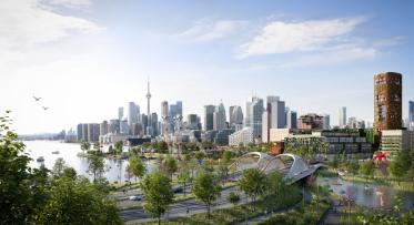
The Lower Yonge Precinct is located between Yonge Street and Lower Jarvis Street, south of Lake Shore Boulevard East and north of Queens Quay East. In the coming years, the equivalent of the population of Gravenhurst, Ontario will be moving into this twelve-hectare area. 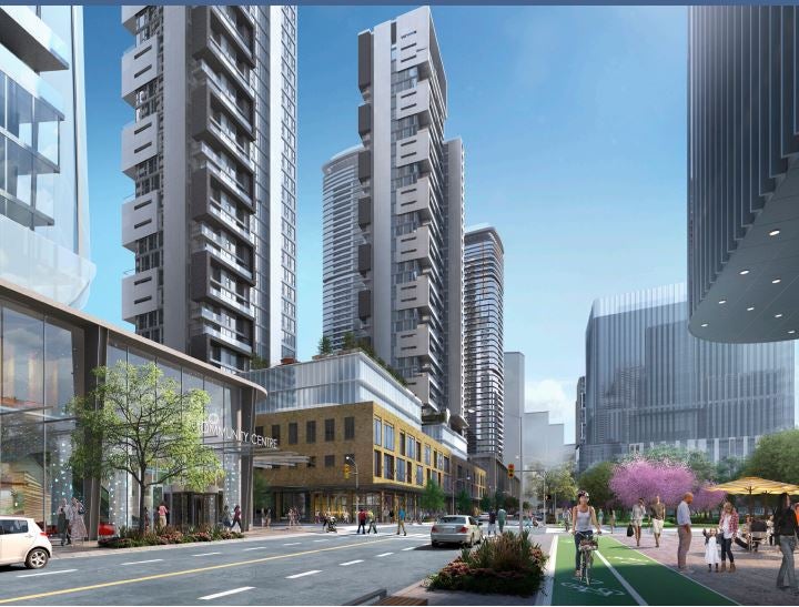
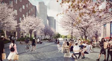
While it seems inevitable that this area will become more densely populated, we want it to develop into a walkable, livable neighbourhood, not a traffic jam. To accomplish that, we need to plan the right network of transportation infrastructure – streets, sidewalks, bike facilities and public spaces.
Waterfront Toronto and the City of Toronto are working together to conduct a Municipal Class Environmental Assessment (EA) Study and Public Realm Concept for the Lower Yonge neighbourhood. It's this study that will shape the design of new transportation infrastructure, including road alignments, lane configurations, and the public realm concept for the Lower Yonge Precinct.
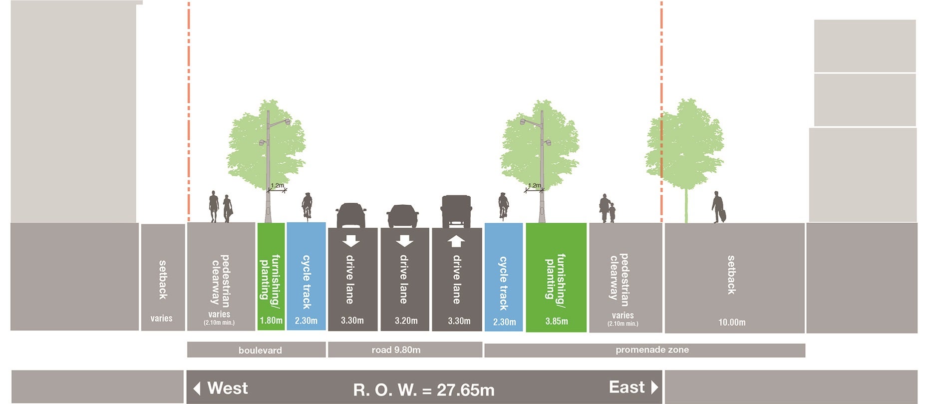
Above is a cross section that shows the preliminary preferred option for Yonge Street south of Harbour Street. Cross sections like this have been created for each street being studied.
Public consultation: tell us what you think
Since January 2016, we have consulted with the Stakeholder Advisory Committee, affected landowners and users, and a Technical Advisory Committee made up of relevant City staff, utilities and agencies on the EA and Public Realm Concept for the Lower Yonge neighbourhood. We’ve also been soliciting feedback from the public.
A Public Information Centre (PIC) took place at the Waterfront Neighbourhood Centre on June 23, 2016. The purpose of the meeting was to provide information about the EA's problem/opportunity statement, existing conditions in the Lower Yonge area and next steps for the Lower Yonge Precinct. The project team was looking for feedback on the evaluation of the street alignment alternatives, evaluation criteria and the selection of the preliminary preferred transportation plan. In addition to the Lower Yonge Precinct display panels, representatives from the York/Bay/Yonge ramp reconfiguration project were available to provide an update on that project.
The PIC was held as an open house. Members of the public were invited to drop in from 4:30 to 8:00 p.m. Project team members were available to discuss the project one-on-one with the attendees. You can view the meeting materials and presentation on the project page. You can also reference the project backgrounder [PDF] we circulated at this open house.
Attendees were asked to fill out a feedback form to help us gather the type of feedback that we need in order to finalize the study recommendations.
After receiving several questions of clarification via this online feedback form, we put together a Frequently Asked Question (FAQ) document clarifying some of the most common questions about the materials that we presented. We've extended the deadline to submit feedback to July 27, 2016 to give those who asked questions of clarification more time to read our responses and provide us with feedback. If you haven’t had a chance to send us your feedback, we hope that this FAQ document [PDF] provides the information you need in order to share your comments or concerns with us.
As always, we rely on your input as a critical part of this process.
Share your thoughts, comments and feedback. Follow us on Facebook and Twitter – and join the conversation about waterfront revitalization using the #TOtheWaterfront hashtag.
Waterfront Toronto’s Design Review Panel Reviews Villiers Island Density and Massing Study
Waterfront Toronto and the City of Toronto open new Aquabella child care centre on Toronto’s waterfront