Parking It: Discovering Marie Curtis Park

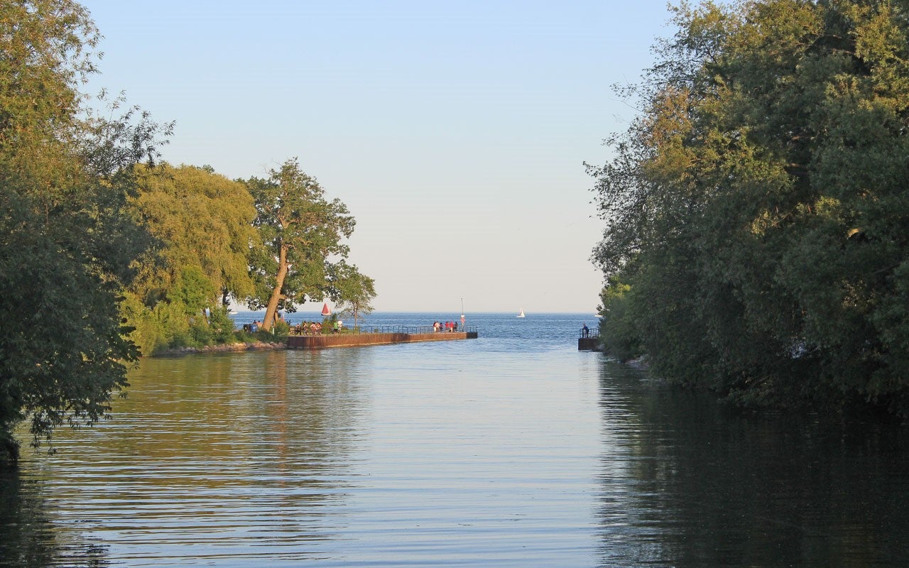
A tree-framed view of Marie Curtis Park where the Etobicoke Creek ripples towards Lake Ontario. (Image Credit: City of Toronto)
Parking It is a weekly series of blog posts – running all summer long – that will explore Toronto’s system of waterfront parks.
Did you know that Toronto has more than 60 parks along its waterfront?! Yes, that’s right, and in the tradition of #summergoals, we’ll be exploring one of these parks each week.
ManyMany of Toronto’s waterfront parks are connected by over 20 kilometres of the WaterfronttheeWaterfront Trail, from the eastern edge of Scarborough to the western edge of Etobicoke at the Etobicoke Creek. On that western border is the first park we’ll discover: Marie Curtis Park.
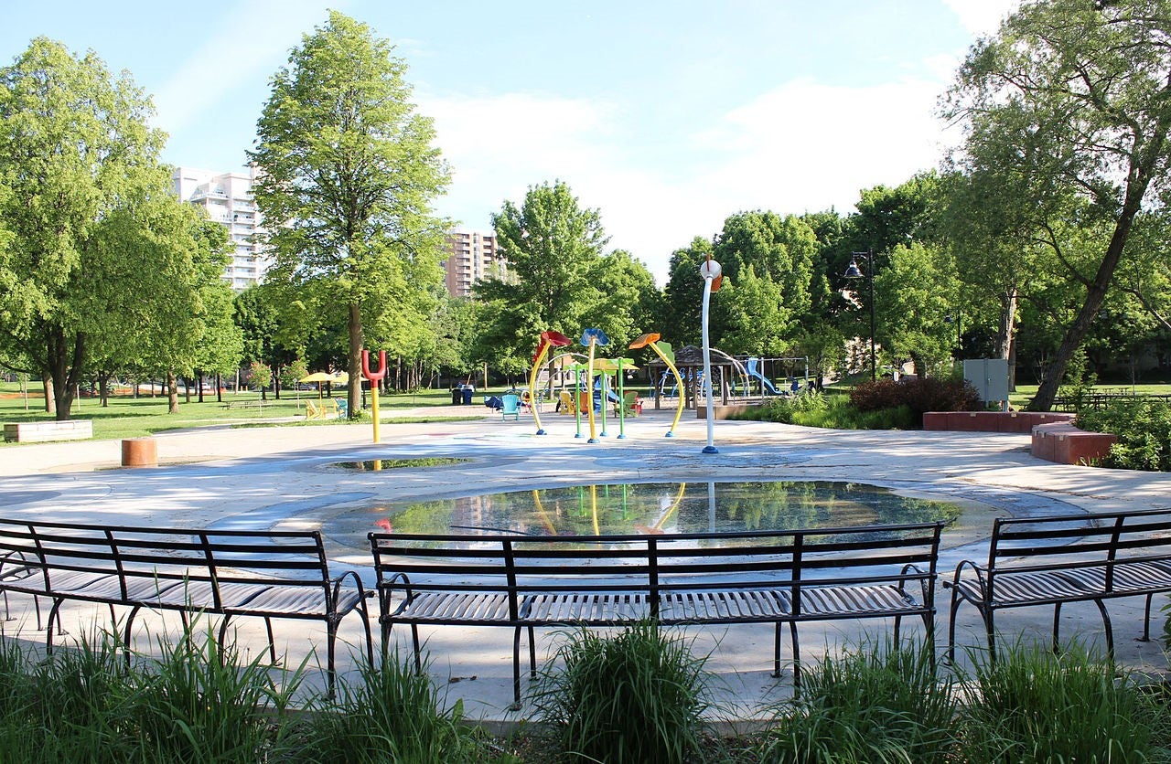
Splash pad surfaces and multi-coloured play fixtures dot the Marie Curtis Park playground, which is surrounded by greenery and outlined with seating areas. (Image by Pkvan, from Wikimedia Commons)
Whatever you’re into, Marie Curtis Park has something to offer you: long walks on the beach, barrier-free trail access, swimming, fishing, picnics, shaded and open green spaces, bird watching and a playground area. The park’s 1.7 km multi-use trail is part of the broader Waterfront Trail system and is shared by cyclists, runners, walkers and skaters.
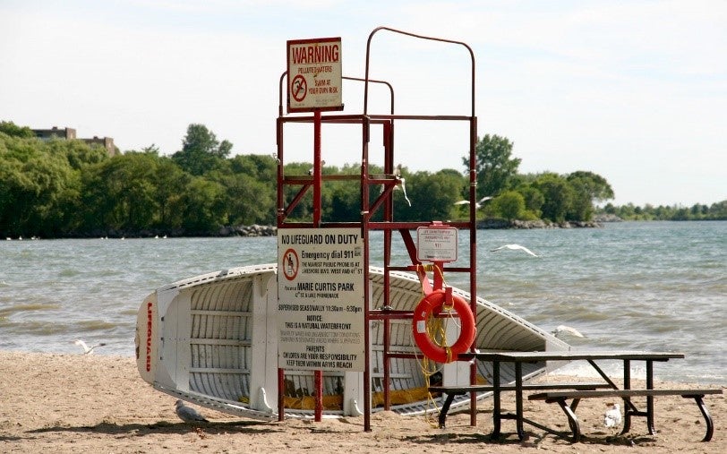
A picnic table, a life-guard post, a parked boat and a flock of diving gulls along the shoreline hint at possible beach activities (Image Credit: City of Toronto)
Created in 1954 as a flood control measure following the notoriously destructive Hurricane Hazel. The park borders the Long Branch neighbourhood where the mouth of the Etobicoke Creek feeds into Lake Ontario, and is one of a small percentage of Canadian parks named after a woman. Marie Curtis was the first elected Reeve of the Village of Long Branch and served on the first Metro Council. She also contributed to the development of a system of regional parklands in Toronto.
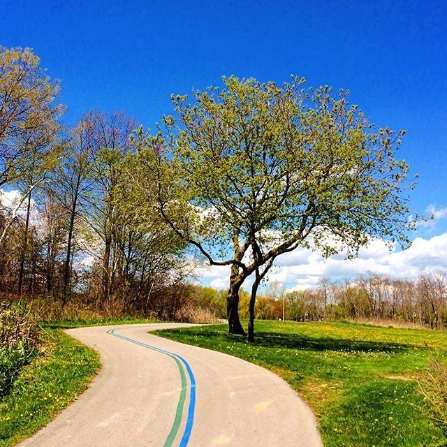
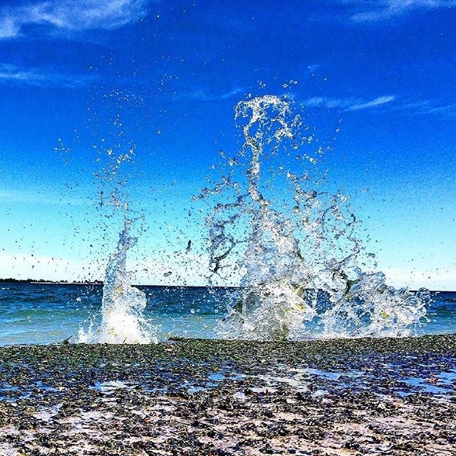
Two views from Marie Curtis Park: The shared-use trail (left) and Lake Ontario crashing against the shore (right). (Images by @3P_sarf on Instagram)
This fall, Region of Peel and Credit Valley Conservation will break ground on the Lakeview Waterfront Connection, creating another 1.5 km of new shoreline right next to Marie Curtis Park.
When constructed, the Lakeview Waterfront Connection, will connect the park to the wider Waterfront Trail, linking Marie Curtis Park to the adjacent area that will be the future Inspiration Lakeview lands.
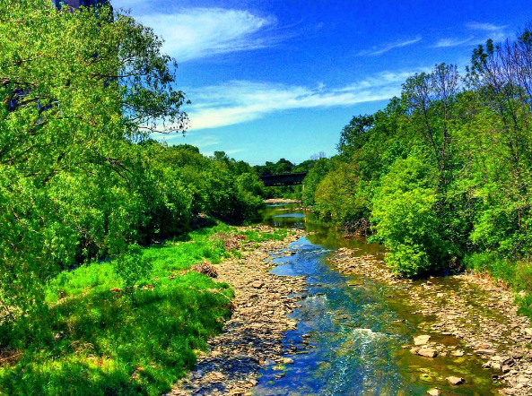
Etobicoke Creek snakes through a green clearing with a bridge visible in the background. (Images by @3P_sarf on Instagram)
The trail extension will travel through new green space and a naturalized conservation area that will create new waterfront access for the public. New wetlands and diverse landscapes of forest and meadow will create new habitat for fish, migratory birds and butterflies. The Lakeview Waterfront Connection will taketake about seven to 10 years to complete.
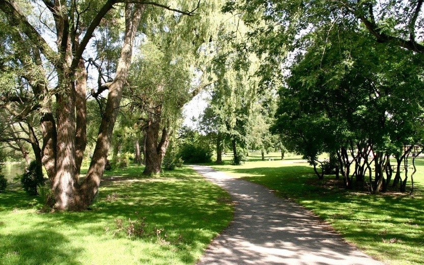
Trees and shrubs offer shade in the grass along a park path. (Image Credit: City of Toronto)
Quick Facts: Marie Curtis Park
- Size: About 24 Hectares (59 acres)
- 1.7 kilometre multi-use trail
- Barrier-free access to trails and other amenities, including:
- Dogs Off-Leash Area
- Fieldhouse
- Picnic Sites
- Playground
- Splash Pad
- Wading Pool
- Washrooms
- Public transit access: Approximately 400 metres from the Long Branch streetcar loop (TTC’s 501 Queen route),), the Queensway 80 bus stop, MiWay (Mississauga) Transit bus stop, and the Long Branch GO station