A Walk through the Revitalized Queens Quay

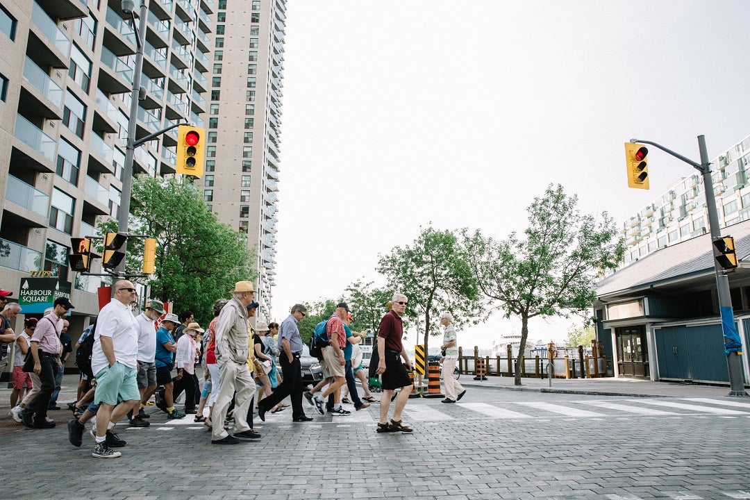
On May 30th, over 100 people joined our Queens Quay site walk to learn more about the design of our new waterfront street.
POSTED: JUNE 17, 2015 I CYCLING, DESIGN, SUSTAINABILITY, TRANSPORTATION, PARKS AND PUBLIC SPACES, COMPLETE STREETS, WALKABLE NEIGHBOURHOODS
By Mira Shenker
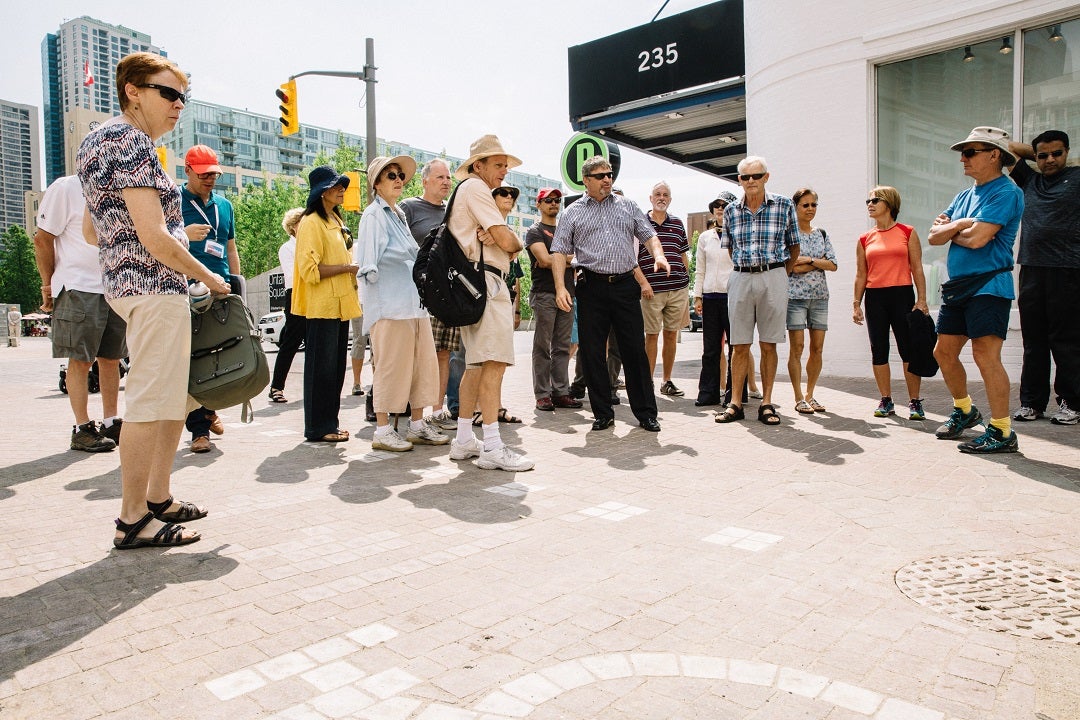
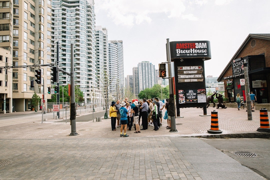
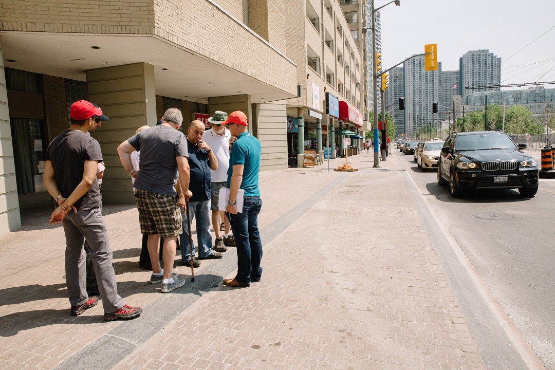
After three years of one-way traffic on Queens Quay, the street was fully reopened to two-way traffic on June 10. Before this major change to the street, we invited members of the public to join us on a site walk. On May 30, over 100 people joined members of our project team on Queens Quay. Four separate groups were led by Jelle Therry, Pina Mallozzi, Chris Glaisek, Simon Karam and David Kusturin. We stopped at key locations to explain how certain design elements will help make this an efficient, safe – and beautiful – public space.
See below for answers to some of the most frequently asked questions on our site walk.
History of the Queens Quay Revitalization
Before the project began, Queens Quay was both unattractive and dysfunctional. Traffic was regularly impeded; pedestrians were navigating constricted sidewalks, transit platforms were narrow; and cyclists were forced onto the roadway.
In 2006, Waterfront Toronto launched an international design competition for the central waterfront. The winning design by West 8 + DTAH is the basis of the work now complete. In September 2007, Waterfront Toronto and the City of Toronto initiated the Queens Quay Revitalization Environmental Assessment, which included extensive public consultation and data collection. The design team identified and analyzed planning solutions and developed the design concepts that would be approved by the Ministry of Environment in April 2010. The street design was presented in plans at public meetings throughout the Environmental Assessment and design phases of the project. The design team also met with property managers and boards of directors of condominiums along the street as part of this process.
Queens Quay’s new design is more than just cosmetic. It has re-balanced the entire street to create more room for pedestrians and cyclists, while keeping motor vehicle traffic moving at the same rate as before.
One of the most significant changes to the street: shifting east-west motor vehicle traffic to the north side, creating room for a pedestrian promenade about four times the size of the average city sidewalk and a bi-directional, off-street Martin Goodman Trail. The Environmental Assessment we conducted in partnership with the City of Toronto confirmed that a single lane of traffic in each direction would actually solve the problems that were causing congestion before, by:
- Improving signal phasing and coordination to synchronize traffic at intersections
- Adding turning lanes and eliminating complicated u-turns
- Installing lay-bys on the side of the road for drop offs and pick ups
In 2010, the Queens Quay Stakeholder Advisory Committee evolved into the Queens Quay Working Group, which then further evolved into the Construction Liaison Committee in 2012 – a group we’ve been meeting with every month for the last three years. This group has been providing us with feedback over the course of the project, and delivering crucial information to the local businesses, retailers and residents they represent.
Queens Quay 101: Design Elements of a Destination Street
The purpose of our May 30 site walk was to give users an overview of how the new street will work in advance of its transformation to two-way operations and its opening on June 19. We stopped along the way to talk about:
- Intersections, including the new mixing zones and signalization
- The Martin Goodman Trail
- Regulatory signage for vehicles
- The north side laybys and sidewalks
- New street furniture
- Landscape features like benches and trees
- The new Harbour Square Laneway
For those who couldn’t attend the site walk, here’s a recap of what we discussed.
1. Intersections
Signalization system
Crossing a driveway westbound – the change in material from granite to Paleo-Tec (concrete) pavers indicates that this is a place where cars can drive.
There are 10 signalized intersections between Bay and Yo Yo Ma Lane. This includes three new signals at Queens Quay Terminal, Robertson east leg (not a pedestrian crossing) and Yo Yo Ma Crossover (not a pedestrian crossing).
Although there is a physical reduction in road space, there is a greatly improved operational system which includes more east-west green time and coordinated signals. A new state-of-the-art signal system is being installed at each intersection along Queens Quay. It includes new signals with Audible Pedestrian signals and separate bicycle/pedestrian signal heads.
These new controllers will allow for much more sophisticated transit priority operations along Queens Quay. Once the new system is up and running:
- Streetcars will stop less frequently because their signals will be coordinated with those used by east-west vehicular traffic. That means both streetcars and vehicles will travel together giving streetcars the maximum amount of time to clear the intersection.
- The system will include up to a 15-second extension of the east-west green if a streetcar is within a close distance of the intersection. If a streetcar is waiting, and there are no other vehicles in the area, the system can also shorten the length of a red light at a north-south crossing. This will help reduce the number of red lights a streetcar hits as it travels east or west.
- The corridor will be optimized to ensure that traffic signals are coordinated reducing the number of stops and starts which lead to slower overall travel times.
- Temporary intersections will be removed resulting in fewer stops for streetcars and vehicular traffic.
Every southbound turn has a dedicated turning signal:
Bay: Westbound left turn permitted; eastbound right turn permitted
York: Westbound left turn permitted; eastbound right turn not permitted
Queens Quay Terminal: Eastbound right turn permitted; westbound left turn not permitted (it was left for last 3 years, now right)
Simcoe: Westbound left turn permitted; eastbound right turn not permitted
Robertson Crescent (east leg): Right turn egress only (has been left out, now it’s right)
Rees: Westbound left turn permitted; eastbound right turn not permitted
EMS: Eastbound left turn permitted; westbound right turn not permitted (emergency vehicles excepted)
401 Queens Quay: Westbound left turn permitted; westbound right turn not permitted
Mixing zones
Chief Operating Officer at Waterfront Toronto David Kusturin explains visual cues on the south side that tell cyclists and pedestrians which space to occupy. Shown here: elephant feet and bike symbol.
The “mixing zone” is an area south of the TTC right-of-way at each intersection where pedestrian and cyclists and visitors to properties to the south are expected to co-exist. The entire mixing zone is raised to the level of the TTC platform – this provides a cue for cars as they pass onto the mixing zone (up a rolled curb) that this is a special area where pedestrians and cyclists are crossing.
It is designed with the following physical and visual cues:
- Granite curbs distinguish between public sidewalk and driveway/roadway entrances
- Public sidewalk is granite paving and roadway is concrete Paleo-Tec (cement) pavers (which are road blocking)
- Painted zebra-markings denote pedestrian crossing areas/AODA cast panels guide people who are visually impaired
- Bicycle boxes, stop-bar and granite bicycle symbols denote bicycle route
- Painted maple leaves and bicycle boxes, as well as “Shared-pathway” sign on Martin Goodman Trail at each intersection clearly denotes that bicycles are entering the “mixing zone” – cues meant to slow down bicycles and let them know they must yield to pedestrians
- Elephant feet (broken white lines on either side of the trail) provide guidance for bicycles
- Bollards at key intersections will stop cars from turning onto the MGT
2. Martin Goodman Trail
A group stops to discuss the “mixing zone” at Robertson and Queens Quay. Cement pavers differentiate driveways from the granite pedestrian promenade where our group is standing.
The Martin Goodman trail is a 17-kilometre multi-use recreational trail along Toronto’s Waterfront. Until now the trail was missing the portion between Parliament and Stadium road. Now, together with the East Bayfront Interim improvements and the Martin Goodman Trail West, this gap will be filled. Before this revitalization, as you entered this area of Queens Quay (from Spadina Avenue to Bay Street), the bike lane ended abruptly and forced cyclists to share the lane with motor vehicle traffic. That created a dangerous situation – made worse by tour buses and delivery trucks stopping in the right-hand lanes – that squeezed cyclists into lanes with faster moving motor vehicle traffic.
Features of the new off-street Martin Goodman Trail between Bay Street and Yo Yo Ma Lane:
- 3.6 metres wide
- The bi-directional asphalt path is marked with green and blue painted lines, and a maple leaf pattern and blue bicycle boxes that let cyclists know when they’re approaching driveways, intersections and other pedestrian crossings
- Controlled by bicycle signals, bike traffic shouldn’t conflict with street traffic – south turning cars have a dedicated turning signal
- As it passes through an intersection, the Martin Goodman Trail is marked by dotted “elephant feet,” either in the form of white granite stones or white paint
- A buffer of four rows of rough cobble separate the trail from the public promenade. This buffer provides a visual and tactile cue that pedestrians are crossing onto the trail. The light poles, benches and trees that line the southern edge of the trail form an informal barrier between the public sidewalk and the trail.
- To the north of the trail a rough cobble “landscape buffer” separates the trail from the TTC right-of-way.
- Painted markers along the trail tell cyclists how far they are from Yonge Street
3. Signage
Toronto City Council asked us to conduct a curbside use study. We completed the Queens Quay Bus Management Strategy in 2011. We established that there was a lot of curbside activity, especially over the summer months. The majority of curbside uses are motorcoach and tourist buses – this is, after all, a popular destination for people visiting Toronto. But the curb was historically heavily used by taxis and delivery trucks.
Extensive stakeholder consultation yielded a curbside management plan, which was translated into a series of bylaws and a detailed traffic signage plan. The signage plan includes both regulatory and advisory signs. The City can enforce the regulatory signs with a white background – these are official by-laws. The other type of sign is not enforceable, but it tells buses, taxis and delivery trucks which lay-bys they’re supposed to be using.
Regulatory signage was approved by Council on March 31, 2015, which means signs along Queens Quay will be enforced this summer. Additional regulatory signs on north-south streets are being installed by the City of Toronto.
4. North side laybys and sidewalks
West 8 project manager Jelle Therry explains how the north-side laybys will ease congestion for cars travelling westbound.
The new sidewalks and landscaping, extending to the edge of storefronts on the north side of Queens Quay, will create a well-used public realm – the kind any downtown street should have. The red granite sidewalks and trees will become natural patios in the summertime, or allow retailers to extend the experience onto the streetscape.
The original Queens Quay had two lanes of traffic in each direction. But constant drop-off and pick-ups meant that the curb lane was frequently blocked by parked vehicles. Because of this, Queens Quay was really operating as a two-lane street.
The revitalized Queens Quay included realigning traffic lanes with laybys for on-street short term loading (including tour buses, taxis, commercial loading and hop-on hop-offs) to serve shops, businesses and charter boat marinas on Queens Quay.
5. Furniture
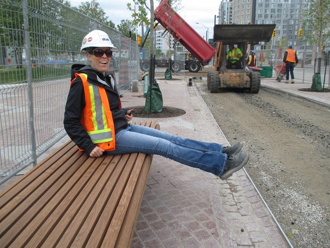
There is ample room to stretch your legs out without conflicting with cyclists travelling on the Martin Goodman Trail, as demonstrated by DTAH associate Tanya Brown.
Lighting
Our signature wood light poles were designed by West 8+DTAH to reference trees. They feature a Western Yellow Cedar tapered glue laminated light pole and a cast metal “tree bark” shroud.
There are 56 poles total standing nine meters tall with two cast aluminum arms and two signature “Olivio” light features at the top – one for the purpose of street lighting and the other to illuminate pedestrian walkways.
Benches
Backless benches are located along the south side promenade. They are supported by custom cast red aluminum brackets with a maple leaf motif and ipe wood slats
6. Landscape features
The promenade
Crews hand-set about 2.3 million paving stones on Queens Quay. The paving surface is made of smooth Royal Canadian red granite, while the Maple leaf figures are outlined with St. Sebastien granite. A slightly rougher finish makes the granite less slippery when it rains.
Trees
A double row of trees has been planted along the south side featuring one continuous tree species. The north side sidewalk will feature a diverse variety of species planted to suit difficult urban planting conditions. There will be a total of 240 trees planted. The south side will consist of London Plane trees while the north side will include: Freeman Maple, Sunset Maple, Turkish Hazel, Sunset Honey Locust, Greenspire Linden and Princeton Elm.
To help deliver mature trees, a tiered web of rigid boxes called Silva Cells are installed beneath the promenade and Martin Goodman Trail. A tree trench will be used on the north side sidewalk which will ensure a similar or greater soil volume than the City of Toronto standard. Silva cells afford trees the routing zone and soil quality they need to grow into healthy, beautiful and beneficial elements of our streetscapes. The soil within the Silva Cells provides underground bio-retention, enabling filtration, storage and recharge of storm water runoff. Watch the soil cells being installed at Sugar Beach back in 2010.
7. Harbour Square Laneway
Between Bay and York Streets, we built a one-way eastbound laneway to give residents easier access to the driveways of 55/65 Harbour Square and the service laneway at 33 Harbour Square.
This 3.6-metres laneway is paved with Paleo-Tec (concrete) pavers and runs parallel to the Martin Goodman Trail. The laneway is accessible from York Street and/or the two driveways of Harbour Square. It merges back into traffic just west of Bay Street.
Frequently Asked Questions (FAQ)
Here are the answers to some of the most frequently asked questions on our May 30 site walk, and on social media.
Q. Why is there no pedestrian crossing at Robertson Crescent?
The decision not to include a crossing at this particular location was made because of its proximity to Rees street where there will be a full pedestrian crossing (92 metres from this location). An additional pedestrian crossing at this location would negatively impact TTC operations. This signal will operate as a fully actuated “egress-only” signal, which means it is called only when a car is waiting at the signal.
As was the intention throughout the environmental assessment and the design phase, Queens Quay has been designed as a balanced transportation system. However, we will continue to observe the operations of the street over the coming months and make any necessary changes to ensure efficient and safe conditions.
Q. How will you stop people from jaywalking where there are lights but no crossing?
Traffic lights where there is no pedestrian crossing are not uncommon. The lack of painted crosswalk (zebra markings) or a walk signal tells pedestrians this is not a legal crossing. There is also a “don't walk” sign at the north side of the intersection.
Many of these intersections have new rules, and we have placed signage and starburst symbols to help drivers and pedestrians get used to that. We do expect that people will obey traffic rules and regulations, and drive and walk safely, and with caution, as they would on any street. This applies to tourists who are new to the City. We expect that those unfamiliar with a City street will follow regulatory signs and obey the rules those signs clearly state.
Q. Will drivers understand the transition at Queens Quay east of Yo-Yo Ma?
Yellow pavement markings guide eastbound and westbound cars into the correct lanes. However, we will monitor this area. A custom sign developed by Waterfront Toronto and approved by the City of Toronto, which will be installed in the coming weeks, will help direct traffic at this crossover.
We understand that in some cases we may need to make some small changes as we see how people are responding to the new design and configuration. This is a common process for any project of this kind: we’ll let people use the street, look for conflicts and take steps, if necessary, to mitigate them.
Q. How will you enforce the dedicated turn signals for southbound movements?
With any new street configuration, an adjustment period is to be expected. Keep in mind that this street has been one-way westbound for three years – drivers and pedestrians will need a little time to get used to two-way traffic. Many of these intersections have new rules, and we have placed signage and starburst symbols to help drivers and pedestrians get used to that. We do expect that people will obey these rules and drive and walk safely, and with caution, as they would on any street. This applies to tourists who are new to the City. We expect those unfamiliar with a City street to follow regulatory signs and obey the rules those signs clearly state.
Q. How will pedestrians crossing north at Bay safely cross the eastbound service lane?
Along the length of the new Queens Quay, there are separate spaces devoted to pedestrians, cyclists, cars and TTC – defined by paving material (Paleo-Tec versus granite versus asphalt), pavement markings (elephant feet, cross lines, stop bars, cross lines) and signs for both motorists and cyclists. That said, this design is not meant to keep everyone using the street completely separate. Pedestrians, cars and cyclists will have to be cautious and courteous at intersections and driveways.
Q. How will drivers knows how to use the service road?
We have added additional signage at either end of this street indicating that it provides one-way (eastbound) access to Harbour Square. We have also added a sign for those accessing the road indicating that it is one way, a “do not enter” sign for those attempting to access the road from the wrong direction, and bollards at both ends of the service road to stop drivers from turning onto the Martin Goodman Trail.
Q. How are people to differentiate between the multiple signal heads at every intersection?
TTC signals heads are louvered and the signal itself is an arrow – an indication that these are rail, not traffic, signals. Signage clearly indicates which light directs which movement.
Q. How will pedestrians avoid conflicts with cyclists?
There are separate spaces devoted to pedestrians, cyclists, cars and TTC – defined by paving material (Paleo-Tec versus granite versus asphalt), pavement markings (elephant feet, cross lines, stop bars, cross lines) and signs.
That said, the “mixing zones,” were not designed to keep these different users completely separate. Both pedestrians and cyclists will have to be cautious and courteous at intersections and driveways.
As with all of Toronto’s multi-use trails, well-used for both active transportation and a range of recreational activities, the Martin Goodman Trail is not specifically for cycling, per se. The trail will also be used by rollerbladers, joggers and, yes, possibly pedestrians. And that’s okay. Cyclists and other faster-moving traffic are required to yield to slower traffic and to observe the speed limit for Toronto’s multi-use trail system, which is a maximum of 20km/h.
The City of Toronto’s website has a handy page that explains Toronto’s multi-use trail etiquette, but it’s worth summarizing here:
All multi-use pathway users have a responsibility to be considerate and respectful of all park/trail users. The following tips are provided to help ensure that all pathway users have an enjoyable and safe experience:
Cyclists rollerbladers, and similar faster-moving persons must yield to pedestrians.
Faster trail users should pass on the left and keep to the right when on the trail.
Only pass when it is safe to do so and the trail is wide enough.
When riding a bike, let people know you are approaching by ringing your bell or giving a friendly greeting.
Dogs should be kept on a leash in parks, except in designated off-leash areas.
To protect the pathways and parks, stay on the trail and don't litter.
According to the Parks By-law, trail users including cyclists and rollerbladers and sateboarders should not exceed the speed of 20km/h when traveling in a park.
If the pathway is busy with pedestrians, consider walking instead of cycling, rollerblading or skateboarding. The trail will be signed to notify trail users that they must yield to pedestrians.
Q. Why is the Harbour Square service lane not separated from the MGT?
This doubles as an emergency vehicle route so a curb separation was not possible. Different paving materials as well as line painting indicate to cyclists and drivers which space is for bicycles and which is for motor vehicles.
Q. What’s to stop cyclists from ignoring all signs to slow down or stop?
Local police will be enforcing cycling signals. We expect that people will obey the rules of the road and cycle with caution – as with any other street or multi-use trail in the city.
STREET FURNITURE, LANDSCAPING & GRANITE
Q. Why is their pooling in certain spots?
No matter what, a very heavy storm can overwhelm a stormwater management system’s capacity. In certain places, this pooling is caused by deficiencies. Those will be corrected along with other minor deficiencies – a normal process after any major infrastructure project is completed.
Q. Why are some trees dead?
It’s typical when planting in this type of environment to see approximately 10 per cent of trees fail to thrive. The trees are under warranty for two years. On the north side, we planted a variety of tree species to ensure that even if certain species don’t fare particularly well, others will survive. We’re monitoring them closely and will replace any trees that don’t make it. Each week, the moisture level in the soil is measured and adjusted if necessary.
Q. Why aren’t there more bike rings?
The number of rings is determined based on the available space and the space between the first two trees on both sides of a driveway intersection.
By the numbers:
- Approximately 150 bicycle rings on south side
- Approximately 75 bicycle rings on north side
- North side bike rings are per city standard “placement” approach and are meant to be an amenity for local retail and building residents/visitors
- South side bike rings are adjacent to the MGT and provide supply for visitors to the waterfront and users of the Martin Goodman trail.
If we find that parking in the area is saturated, the City will have to consider additional bike rings.
Q. Are the benches along the south side promenade too close to the Martin Goodman Trail?
The benches on the south side promenade were designed to allow people to sit facing north or south. There is enough space to accommodate that. However, if this becomes a problem, we will consider adjusting their location.
Do you have more questions about this project? Email us at info@waterfrontoronto.ca or tweet us at @WaterfrontTO.