More Than Just Green Spaces: Linear Parks Create Social, Economic and Environmental Benefits for Neighbourhoods

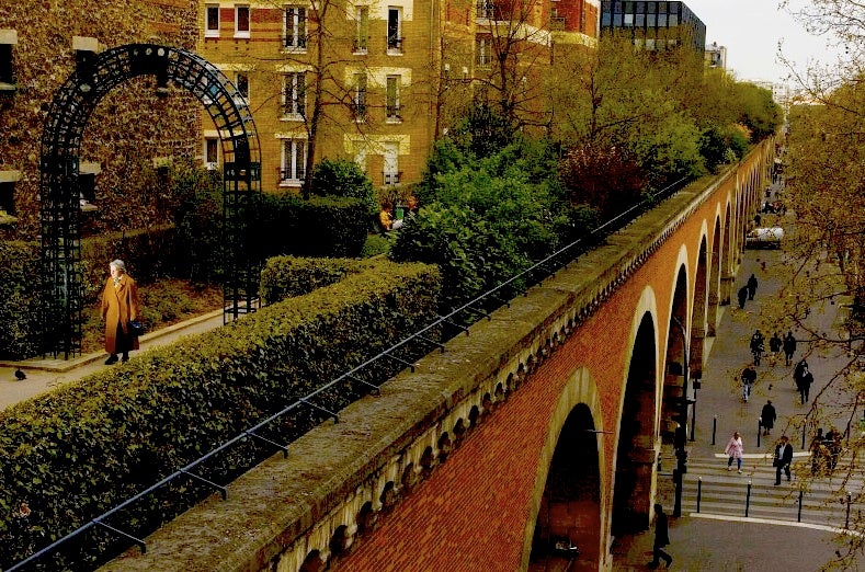
One of many linear parks and greenways in the city, the Toronto Beltline Trail is one of our favourites. Traversing five separate neighbourhoods, this 9km trail lets you escape the hustle and bustle of the streets as you travel through the city. (Image credit: Adsnell on Flickr, Toronto Beltine Trail)
UPDATED: SEPTEMBER 22, 2015
POSTED: OCTOBER 5, 2014
BY: MEGHAN HOGAN
Toronto is a city of many greats – great restaurants, great festivals, great neighbourhoods and most importantly great parks. Our city boasts a diverse and extensive network of green spaces that are treasured by residents from Etobicoke to Scarborough, Downtown to North York. From the big and lively to the small and intimate, each urban park has its own unique character. But one type of park has steadily been gaining popularity in Toronto and around the globe: The linear park. And for good reasons too.
As population density increases and development eats up potential green space, these parks are a creative way to repurpose underused spaces and transform neglected infrastructure. One of the most recognized examples is the High Line Park in New York City, which just opened its third and final phase on top of a refurbished elevated rail line from the 1930s. It has been described as one of the most innovative and people-pleasing urban reclamation projects in modern history and today it attracts nearly four million visitors every year.
We all know the benefits of parks include improving mental and physical health and beautifying our neighbourhoods. But it’s the unique features of linear parks and greenways that distinguish them from other kinds of parks. They make use of adjacent rivers, roadways, railways and pedestrian paths to help to create distinct economic, environmental, health and social benefits. Linear parks and greenways have been linked to increased property values. They can be used to help avoid or diminish the destructive forces of floods. They also encourage physical activity and active transportation, producing real public health benefits.
In real estate, people often say that a major factor that determines property value in the city is location, location, location. And the notion that proximity to a park may be linked to increased property values is not groundbreaking when you consider that access to parks and trails is recognized as one of the most desirable features of a neighbourhood – in fact, trails were ranked the second most desirable community amenity in a 2002 study.
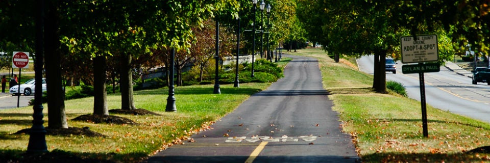
The Little Miami Scenic Trail is a rail-to-trail project that runs more than 75 miles from Newtown through Cincinnati and north to Springfield in Ohio, USA. (Image credit: americanbyways.com)
But what strikes a note is that linear parks and greenways maximize the number of properties that can be positioned adjacent or nearby, meaning property values can be enhanced over a greater area. In fact, the University of Cincinnati revealed that home buyers in Cincinnati were willing to pay an additional $9000 to be within 1000 feet of a 12-mile stretch of the Little Miami Scenic Trail. And this appeal has the potential to attract developers to nearby areas – the High Line, for example, has generated more than $2 billion in private investment near the park, according to city officials.
Linear parks and greenways can also have significant environmental benefits, including flood protection and curbing run-off pollution – two pressing issues for cities with extreme weather events occurring with more frequency and severity. Rivers and streams naturally have land that stretches alongside the waterbed, called flood plains, which help to absorb excess water that can overflow during a major storm. But development can disrupt or entirely displace these flood plains leaving the overflow with nowhere to go. The result can be flooding of homes and public infrastructure that comes with costly damages. Linear parks and greenways can help to protect and restore these natural flood plains.

The lush and peaceful River Torrens Linear Park is an essential piece of public infrastructure, including functioning wetlands that protect the city of Adelaide from flooding. (Image credit: Hypatia from WikiTravel)
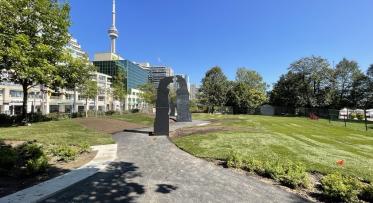
The River Torrens Linear Park for example, is a remarkable park and trail system in Adelaide, Australia that was constructed to help mitigate river flooding in the city. Over 30km long, it runs from the hills to the coast, bisecting and protecting Adelaide’s city centre. In Toronto, we’ve created a similar effect with Corktown Common, which sits atop a flood protection landform that protects the Financial District and the West Don Lands. The park’s soft landscape features also include a marshland to help control run-off. We have more plans along these lines with the proposed naturalization of the Don River mouth.
Flood plains also create buffer zones that help to reduce pollution run-off caused by lawn fertilizers, chemicals and pesticides. These pollutants unfortunately migrate from our lawns to rivers and streams, not only affecting the water quality but also causing serious damage to the health of local aquatic species. The buffers created by linear parks and greenways can help remove up to 50% of pollutants and 75% of sediments before they reach the waterway.
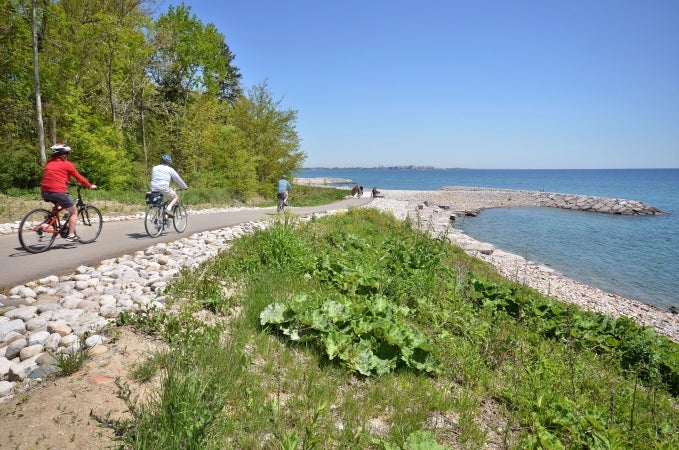
In Toronto’s east end, the Port Union Waterfront Park gives cyclists and pedestrians ample space to get active with stunning waterfront views.
The health benefits of parks have long been celebrated, but some parks seem to do a better job of it than others. In fact, linear parks and greenways are proven to encourage the highest level of physical fitness when compared to neighbourhood, community, sports, natural and schoolyard parks. An Australian study shows that a park’s size and type will significantly impact the level of physical activity that takes place in them. Linear parks and greenways accounted for roughly 60% of all high intensity physical activities simply because their large size and trail systems provide more opportunities for activities like jogging and cycling. And at a time when obesity and related diseases are on the rise in North America, building more linear parks and greenways is a creative and effective way to get people moving and produce lasting health benefits.
The Port Union Waterfront Park for example, encourages Toronto park-goers to get active and enjoy its 3.8 km of multi-use trails along the shores of Lake Ontario. The park even hosts its own 10km run each year. Completed in 2012 in partnership with Toronto and Region Conservation, we also installed 8.67 hectares of aquatic habitat along the park’s newly restored shoreline to create a healthy environment for fish species to thrive.
Yet perhaps the most significant benefit of all is the power for linear parks and greenways to create a true sense of connectivity throughout a city in a way that traditional parks simply can’t. The elongated perimeter of a linear park can pass through multiple neighbourhoods – touching a variety of social and cultural demographics – all of whom will share this public space. The park itself becomes a meeting ground for social interactions and the creation of shared experiences. Because of their smaller perimeters and concentrated space, traditional parks simply can’t create these kinds of bridges between communities. In this way, linear parks may present exciting opportunities for cities to create a more cohesive and inclusive urban identity.
Here‘s a look at a few of our favourite linear parks and greenways from around the globe…
Rose Fitzgerald Kennedy Greenway – Boston, USA
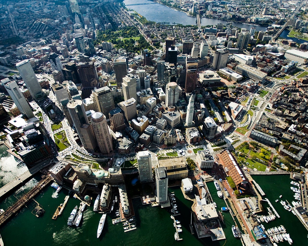
An aerial view of the Rose Fitzgerald Kennedy Greenway in downtown Boston. (Image credit: Hellogreenway from Wikipedia)
When Boston decided to replace an elevated highway with an underground tunnel system, the city seized the opportunity to create a spectacular series of linear parks. The 15 acre park connects some of Boston’s oldest, most diverse and vibrant neighbourhoods and features a carousel, public art, fountains, gardens and plazas and even holds open markets and free events for park-goers throughout the year.
Promenade Plantée (Coulée Verte) – Paris, France
Soaring above the busy streets of Paris, the Promenade Plantée offers a unique view of the city for locals and tourists. (From europeantrips.org)
Long before the High Line was even a glimmer in New Yorkers’ eyes, there was the Promenade Plantée in Paris. What was once a part of the Vincennes railway line up until 1969, is now a 4.7km tree-lined linear park with gardens strewn throughout its many foot bridges and tunnels. Built in 1993, the greenway (also known as the Coulée Verte) was the first elevated parkway in the world, reimagining obsolete infrastructure and giving Parisians and tourists an alternate route around the city. Densely planted with a range of vegetation and flowering plants, the Promenade Plantée blurs the lines between city and nature.
Queens Quay & the Martin Goodman Trail
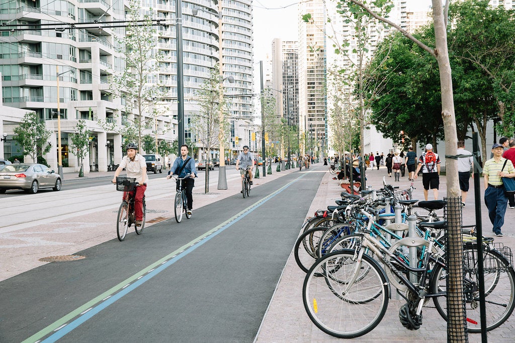
The new Queens Quay features a generous amount of civic space for pedestrians, much improved landscaping and an active transportation route along Toronto’s waterfront.
Toronto’s main waterfront street is being transformed into a stunning boulevard redesigned to make it a people place – not just an arterial road. The grand tree-lined promenade will give pedestrians new access to the lake, while the new Martin Goodman Trail will run almost the entire length of the city, from the Humber River in the West to the Leslie Spit, with links to the 740km Waterfront Trail. The new Queens Quay and Martin Goodman Trail will connect multiple neighbourhood destinations and provide a safe route for active transportation across the city.
Coming soon in Toronto...
Front Street Promenade
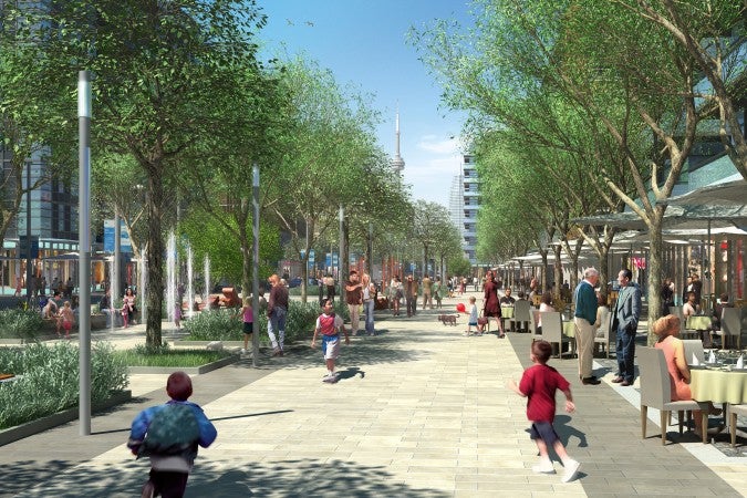
The new Front Street will run from Cherry Street to Corktown Common, and feature a vibrant pedestrian promenade in the West Don Lands that will be lined by cafes, shops and retail. (Artist rendering, courtesy of Waterfront Toronto)
Now that the final brick has been placed in the Canary District, it’s time to get excited about the Front Street Promenade. This main pedestrian thoroughfare will be the heart of the community, connecting visitors and residents to Corktown Common – the centerpiece of the West Don Lands. With wide pedestrian spaces, trees and landscaping, this beautiful street will double as a linear park that features signature public art. The streetscape is designed to create a series of intimate “rooms” beneath the tree canopy, where people can relax, socialize and enjoy a range of neighbourhood activities.
6 FAQs about Villiers Island
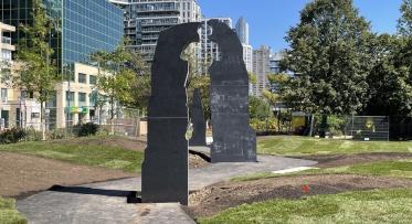
Terry Fox Legacy Art Project unveiled beside the Toronto Music Garden